Welcome to Landscapes in Motion!
/When you close your eyes and picture a forest fire, what do you see?
Perhaps you will picture recent images from Waterton Lakes National Park, a dark red glow in the distance and plumes of smoke billowing from the Kenow fire as it spread into Alberta. Maybe instead you see lines of cars and trucks trying to escape Fort McMurray in 2016, the blaze nicknamed “The Beast” burning frighteningly close to the road.
Maybe you think back to the Yellowstone fires of 1988, an event that closed the park for the first time in its history and burned over a third of its area.

A campground burns in Yellowstone in 1988. Photo by Jeff Henry, National Parks Service.

View from a vehicle as residents evacuate Fort McMurray and surrounding areas in 2016. Photo by DarrenRD, Wikimedia Commons.
The fires we hear about the most tend to be the extreme events. The fires that blazed out of control; the ones that burned for months and threatened—or destroyed—entire communities.
Questioning assumptions
What if this perception of wildfires is based on incomplete information?
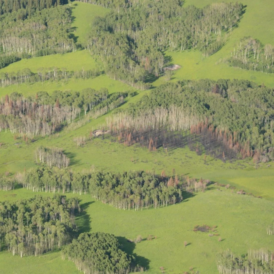
For years, the conversations around fire have been framed in terms of these large, severe events. In western North America, many forests are thought to be regulated by large, intense, “stand-replacing” fires—fires that kill nearly all the trees in the area, provoking decades of rapid regrowth and regeneration. This perception of natural disturbance in western forests has had important implications for how they are managed. So what does it mean if these large fires were actually far less frequent than smaller, lower intensity fires?
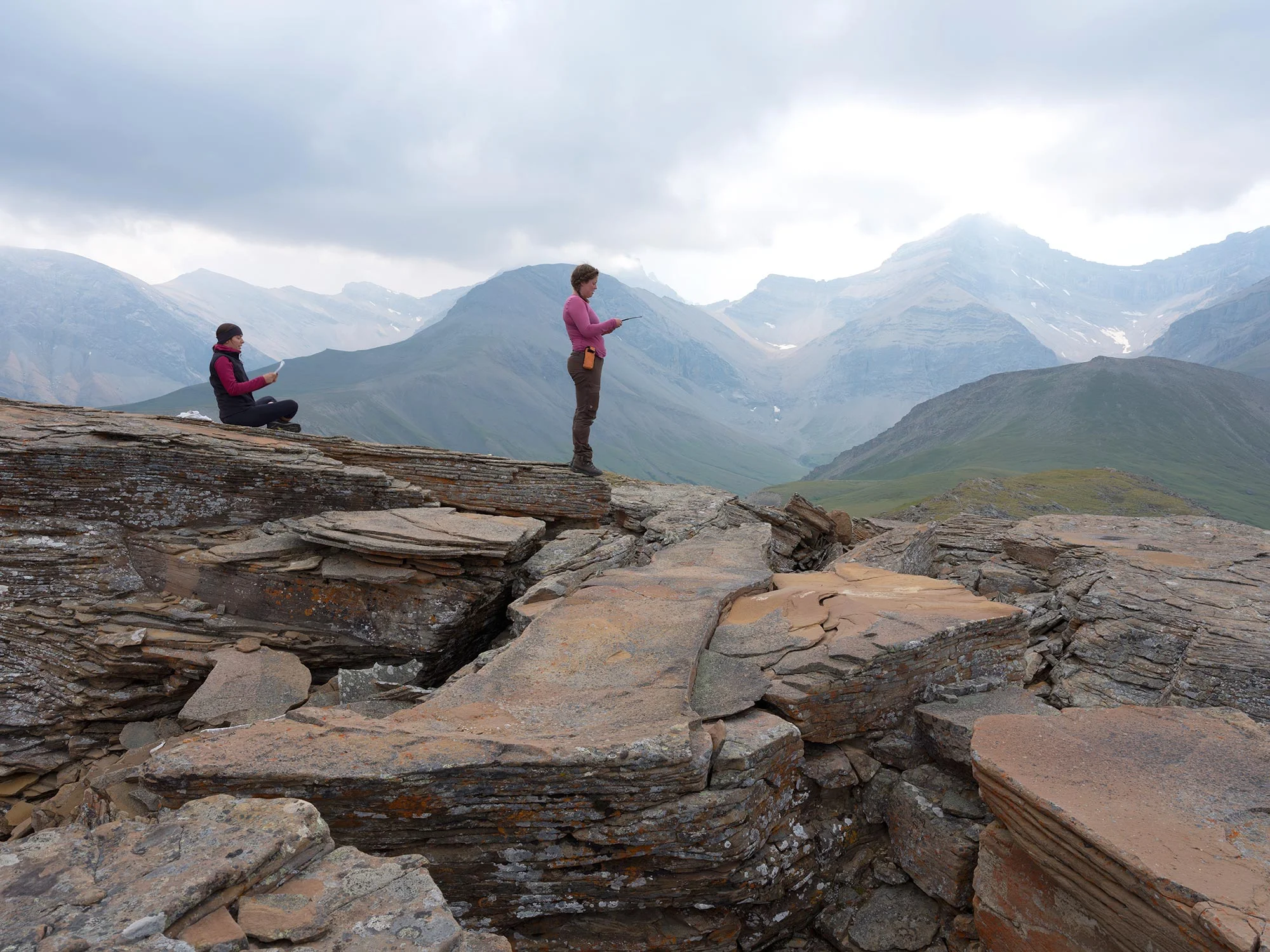
This is where Landscapes in Motion comes in. Scientists from across western Canada are working to carefully fill the gaps in our understanding of how fires once burned on these landscapes. They are doing this by studying a massive area covering the southern Rockies of Alberta.
Looking to the past
Understanding how landscapes naturally burn is not an easy undertaking. When we look at recent fire records, the picture we see is very different from the natural and deliberate fires that have shaped the landscapes for centuries. Despite the dramatic events of the past few years, wildfire prevention and control efforts in Canada have been largely effective. There is also the historical role of Indigenous communities, which for generations actively managed many landscapes using controlled burns—that is, until fire prevention mandates put a stop to the practice in the 1930s and 1940s.
If we want to understand the forces that have shaped our landscapes, we need to turn to the past.
Our research teams are using different methods as a window into the past and asking: what were fires doing before Europeans settled and started putting them out? How did landscapes look under the influence of traditional Indigenous management? How has contemporary fire management affected the shape of the landscape?
More than the sum of its parts
Landscapes in Motion is more than just a simple research project. No single method for collecting information will tell the whole story—which is why we are collecting information using many different techniques. Photos from the past, fire scars found on trees alive today, and cutting-edge computer modeling… together, our team’s findings will reveal more than a single discipline possibly could.
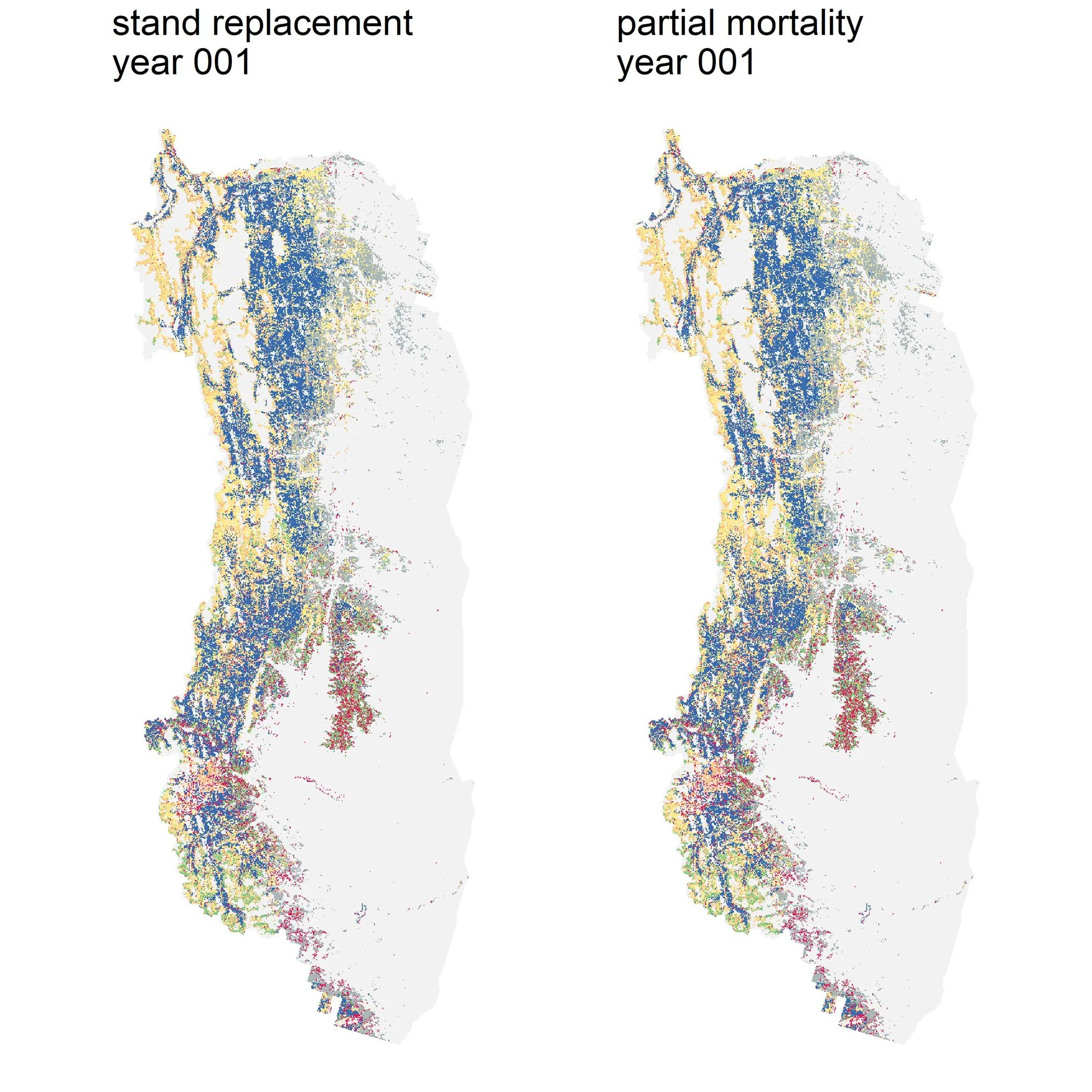
Just as we have expanded the breadth of our investigation, so too have we expanded the scale. Our study area covers nearly 20,000 km², and over half of that (10,600 km²) is forested.

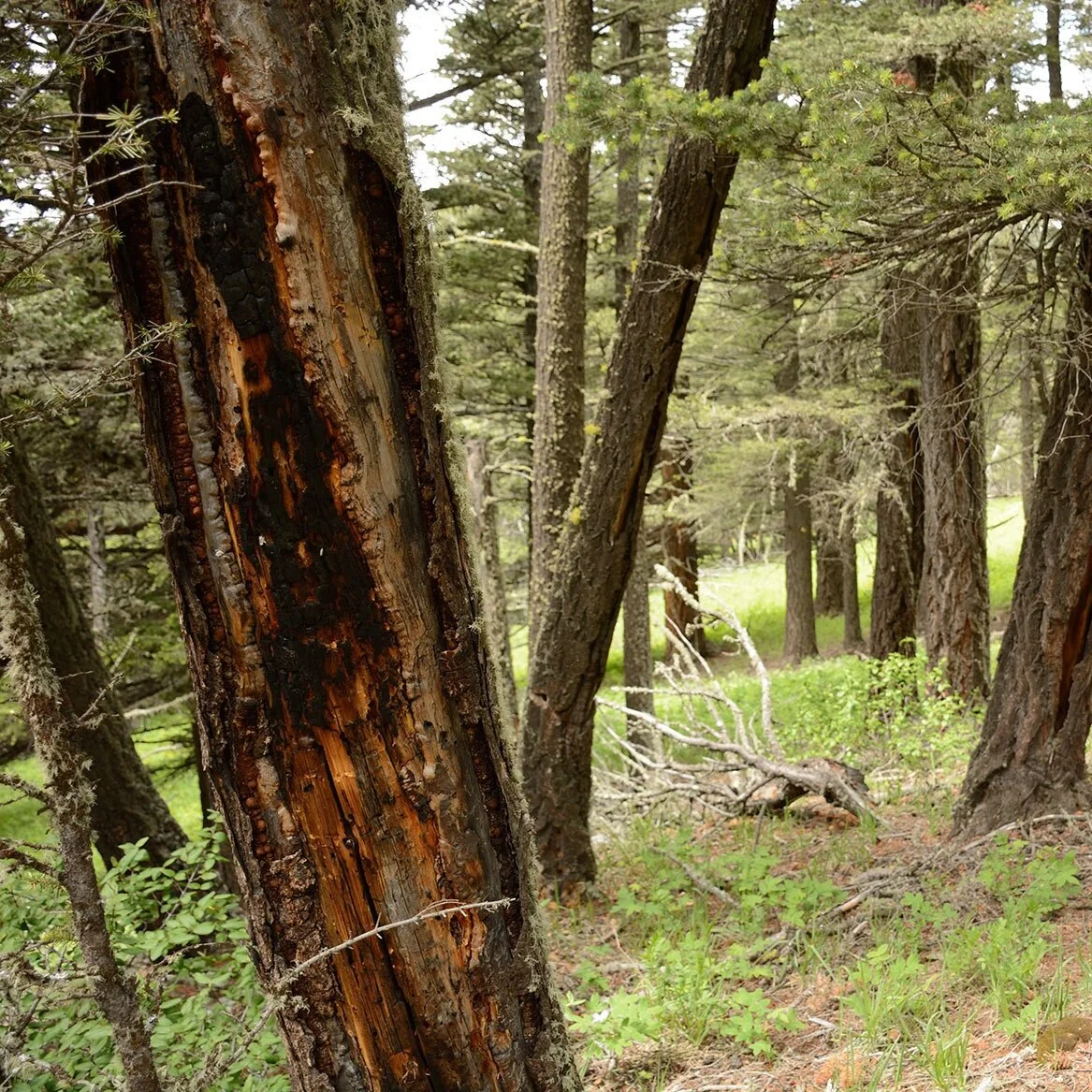
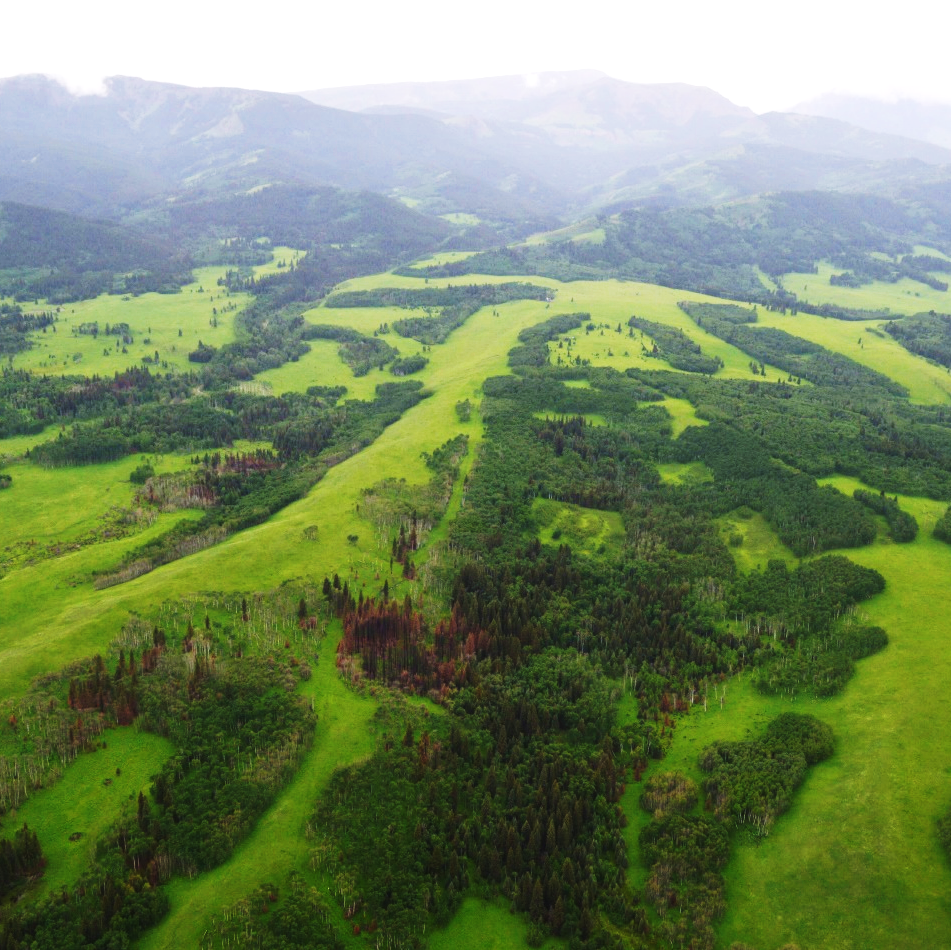
Fires leave scars on the trees that survive them, which can help us learn more about how the forest burned and when. Photo by Cameron Naficy.
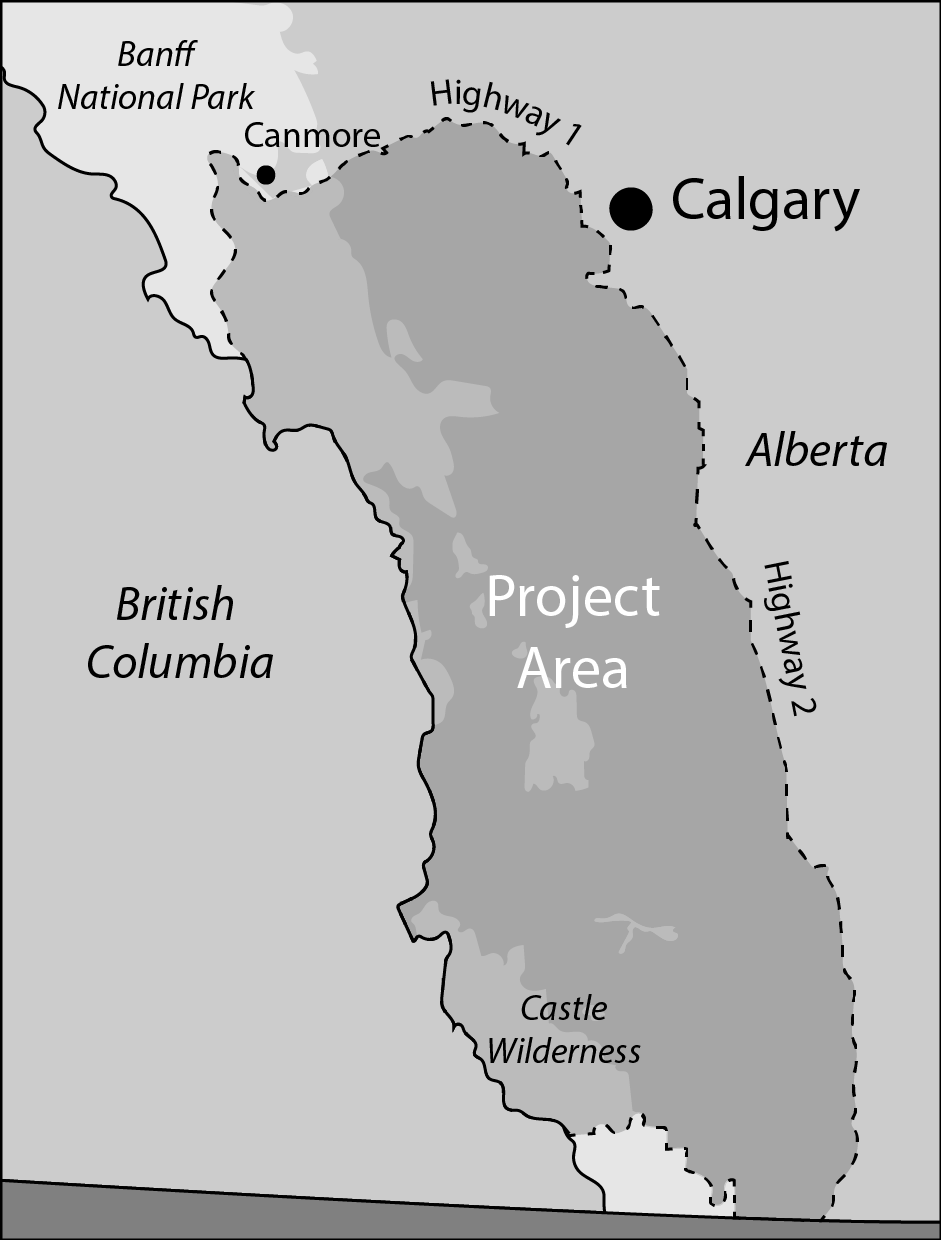
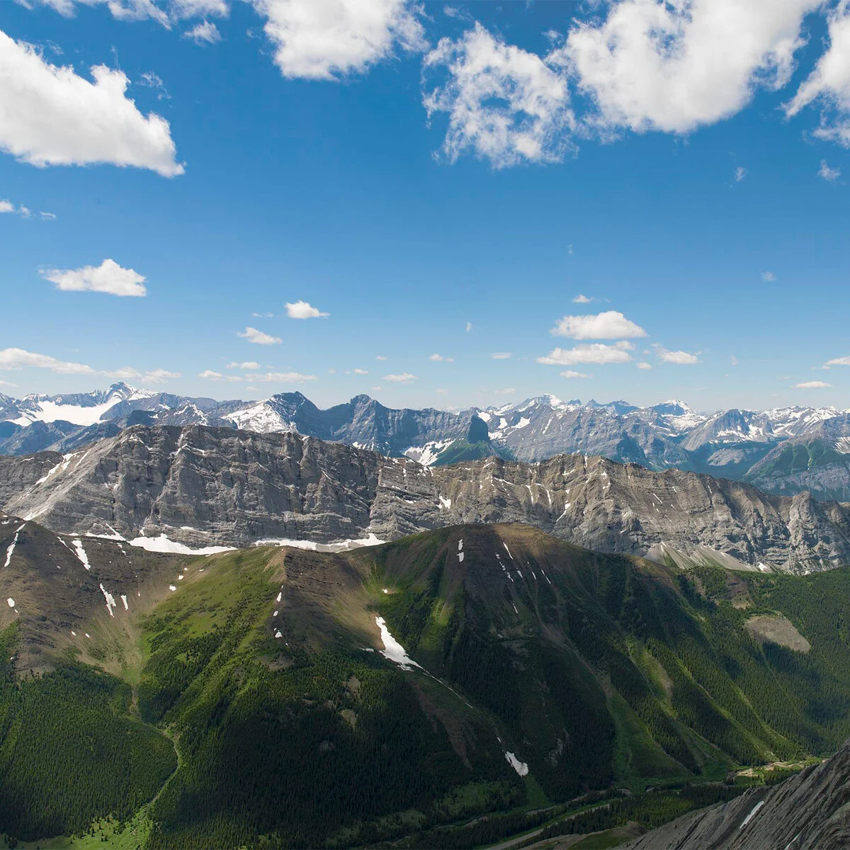
The Landscapes in Motion project area covers nearly 20,000 square kilometers in the southern Rockies.
There is so much to learn from the landscapes of the southern Rockies of Alberta, and we have only begun to scratch the surface. With Landscapes in Motion, we hope to dive in and discover the real story behind these forests. We want to know how, when, and where they burned. We want to know how the fire history of the area has shaped it into the landscape that supports so many communities today. And when we look ahead, we want to have a sense for what is in store.
We encourage you to sign up for our newsletter, where we will share regular updates from the project. The Updates section of this website will also serve many purposes: research updates, event announcements, a chance to meet the people behind Landscapes in Motion, and opportunities to discover, with us, the role wildfire has played in this landscape’s story.
In the years to come, we hope to tell you the wildfire stories of the southern Rockies of Alberta. Together, we are going to test our assumptions about the nature of fire in these landscapes. Our journey is just beginning, and it has the potential to transform what we see when we close our eyes and ask... what does a forest fire look like?
Sonya Odsen is an Ecologist and Science Communicator with a background in boreal ecology and conservation. She is a regular writer for Landscapes in Motion and is part of the Outreach and Engagement Team for the project.