Recent study in Southern Alberta shows loss of grasslands across the landscape, with implications for fire risk and fire history

Recent study in Southern Alberta shows loss of grasslands across the landscape, with implications for fire risk and fire history

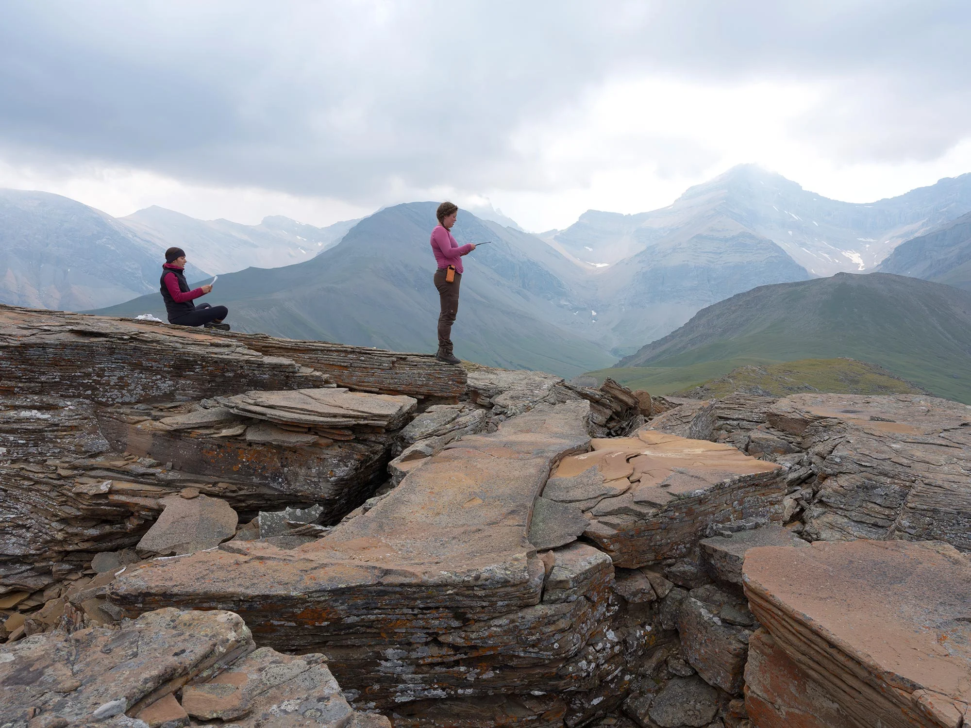
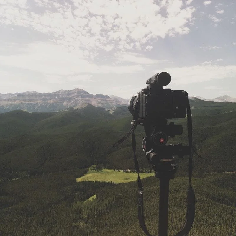
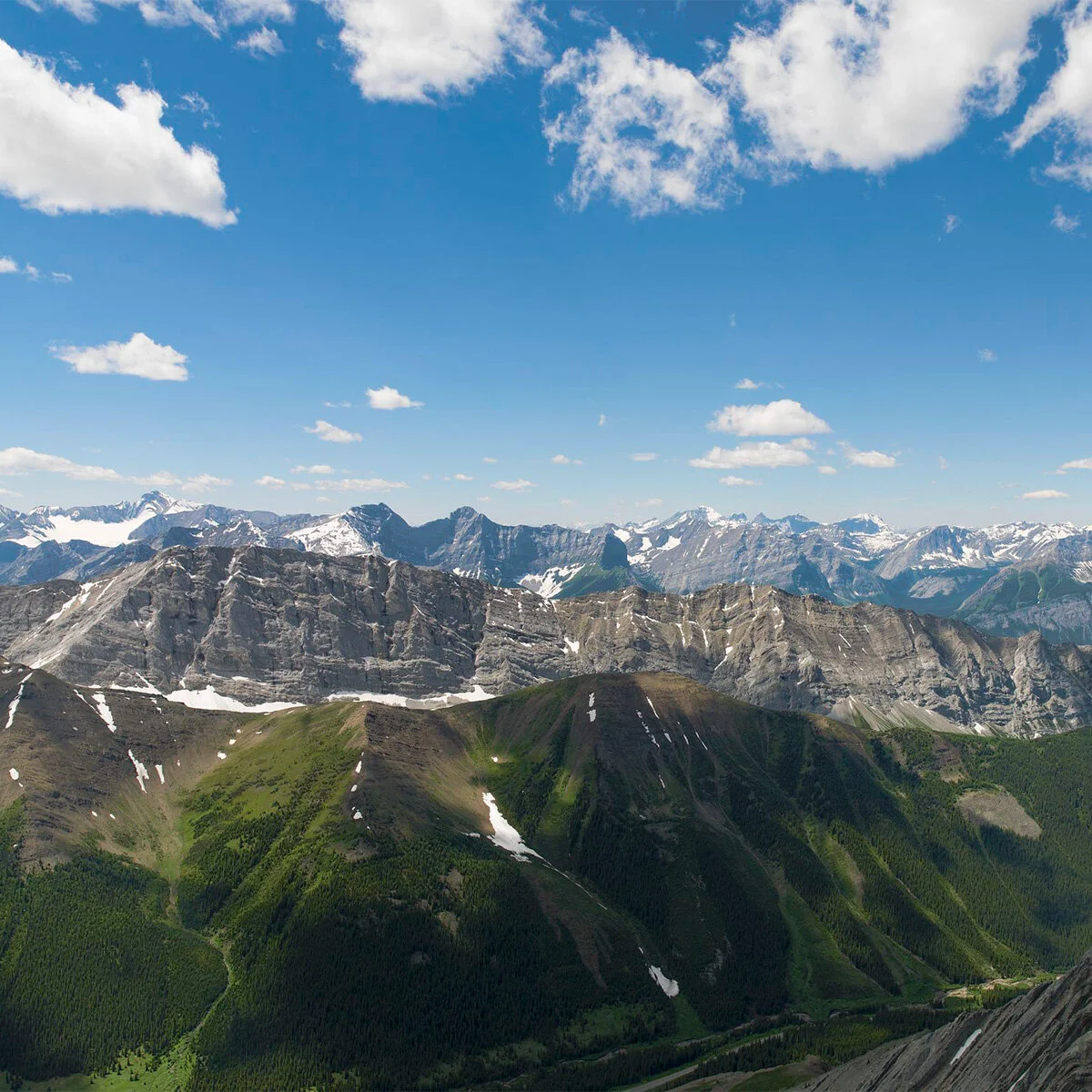
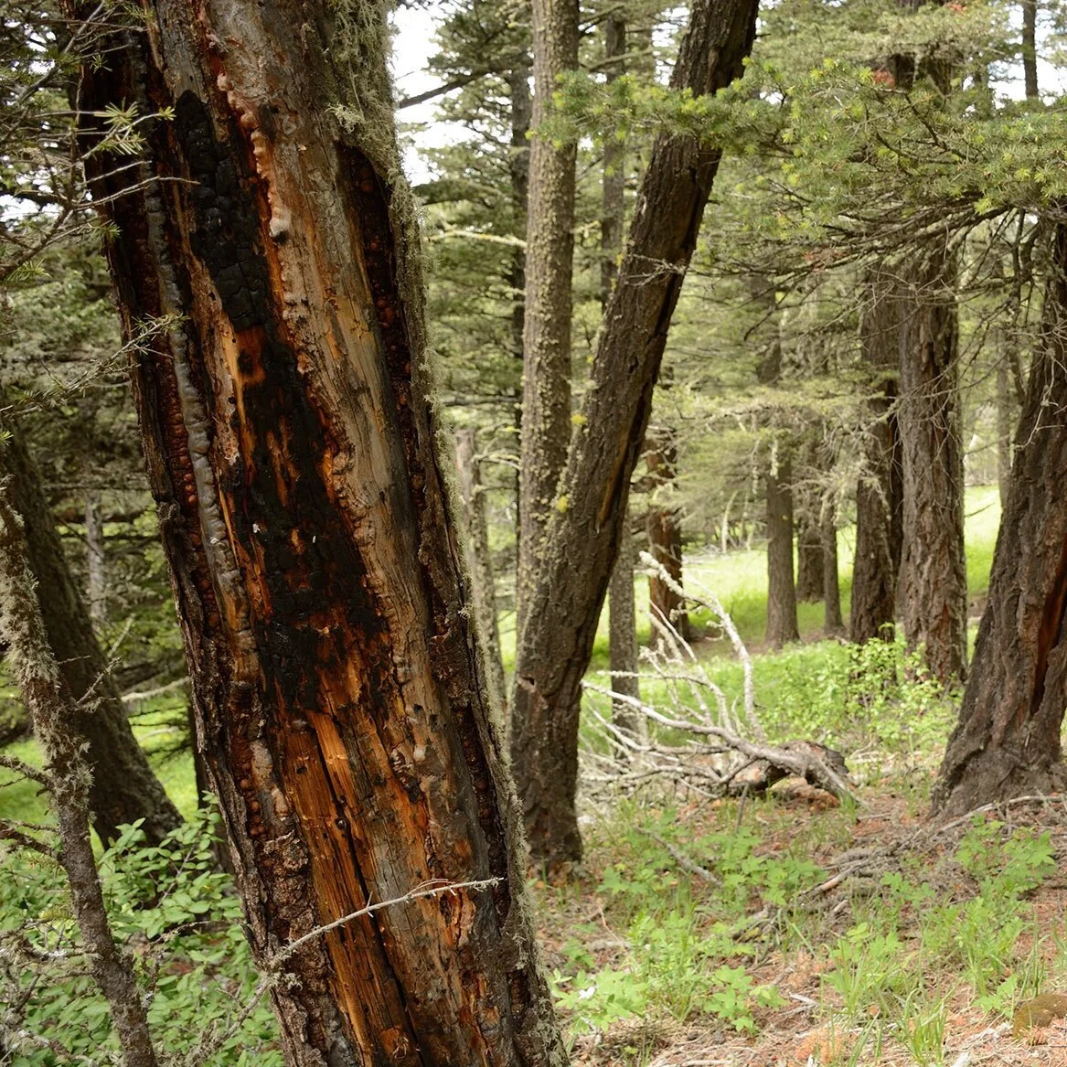
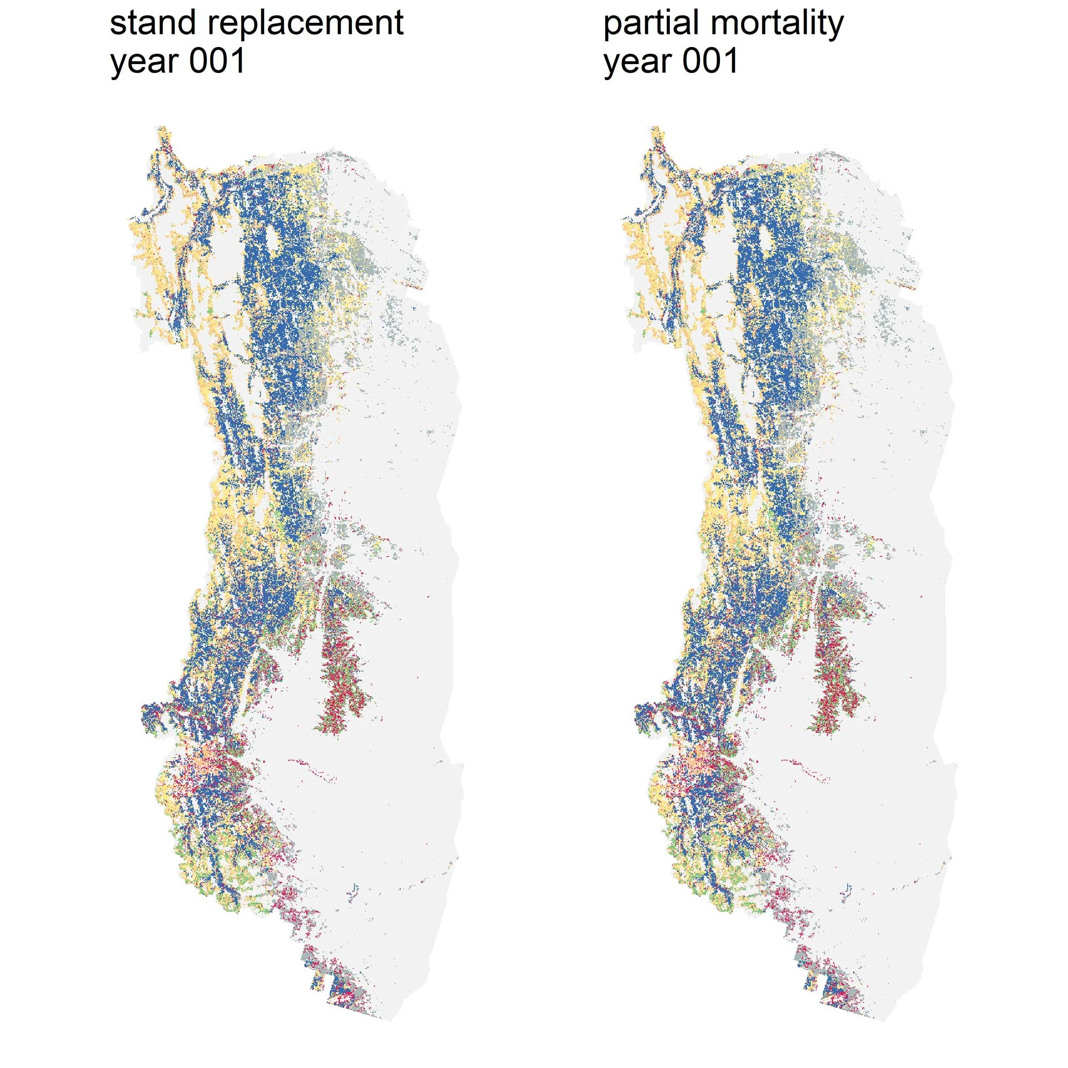
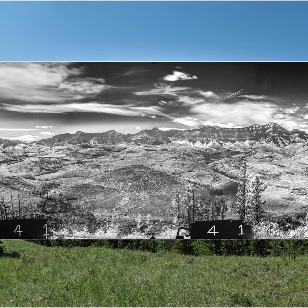
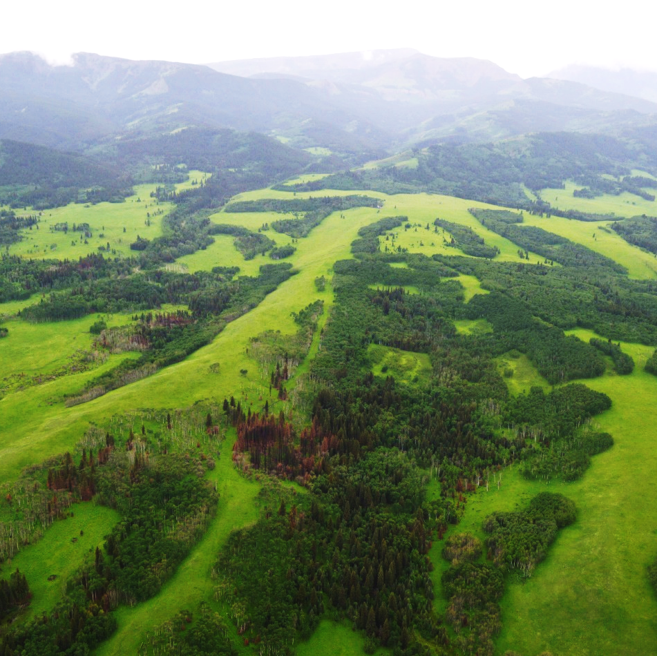
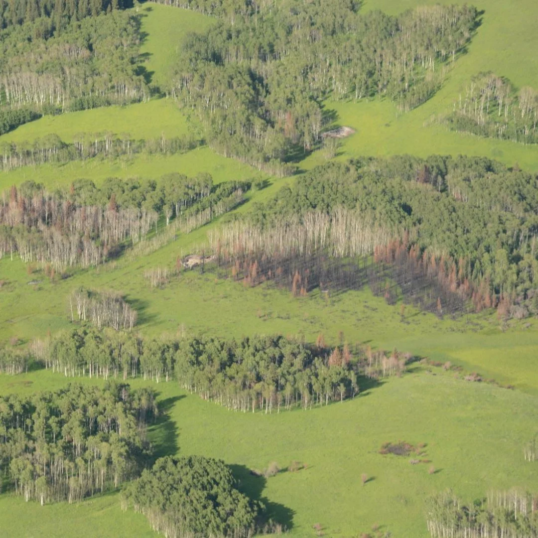
A recent study led by Landscapes in Motion collaborator Dr. Chris Stockdale shows that since the early 1900s, 25% of grasslands have been lost in a large area of Alberta’s Southern Rocky Mountains. Our blog team sat down with Dr. Stockdale to discuss the implications of these findings, the exciting opportunities of oblique photography, and the connections between this research and the Landscapes in Motion project. Dr. Stockdale is currently a Fire Research Scientist with the Canadian Forest Service.

Read More

Ignition Point: The Underappreciated Influence of Indigenous Burns

Ignition Point: The Underappreciated Influence of Indigenous Burns

In both the present and the past, it is clear that humans have had a strong effect on why, where, and how forests burn. Recently, LIM researcher Dr. Cameron Naficy found some clues in the Southwestern Foothills showing that Indigenous cultural burning was likely a stronger influence on this landscape than previously documented in the academic literature. In this post, we share some context for the different ignition sources of Alberta wildfires and present a sneak peek into some of Dr. Naficy’s early findings.

Read More

Bringing oblique photography and wildfire research together using viewsheds

Bringing oblique photography and wildfire research together using viewsheds

What are viewsheds, and why use them? With the Landscapes in Motion teams now analyzing data and sharing the results, our teams are starting to explore new ways of collaborating and combining datasets. Here we share some insights on the process from a collaborator with the Oblique Photography Team, Mountain Legacy Project researcher James Tricker.

Read More

Meet the Modelling Team!

Meet the Modelling Team!

Our field teams collect a massive amount of data from mountaintops and forests across the Eastern slopes of the Rockies. Because our team has the good fortune of such a big dataset, we can ask questions at a broader scale than a lot of other projects - we are even starting to predict what the future of these landscapes might look like.

Read More

A Wildfire Story: Decoding the Past with Tree Scars

A Wildfire Story: Decoding the Past with Tree Scars

Disturbances like fires and insect infestations literally leave a mark on trees, creating scars in annual tree rings. Since our research team is interested in the fire history of the landscape, we need to be able to tell fire scars reliably apart from scars left by insects. With two full field seasons now in the books, Dr. Cameron Naficy’s Fire Regime Team have become local experts in this challenging task. In this post, we describe the challenges of distinguishing scar types, provide some insights on how our team solves these puzzles, and explore the important connections between insects and fire.

Read More

Burning Territory: Indigenous Fire Stewardship

Burning Territory: Indigenous Fire Stewardship

Landscapes in Motion has a mission to understand the fire history of Alberta’s southwest Rockies, which includes looking at pre-industrial fire and landscape patterns and seeing how they’ve changed. There are a lot of reasons that the nature and frequency of fire has changed in this region, and one very important reason was the suppression of Indigenous burning practices by European settlers and the Canadian government. We are honoured to present the following guest post by Amy Cardinal Christianson, a Métis/Cree woman raised in Treaty 8 territory and currently a fire scientist with the Canadian Forest Service.

Read More

Placing oblique photos on the map

Placing oblique photos on the map

The Landscapes in Motion Oblique Photo Team has the daunting task of scaling mountains to repeat photographs taken up to a century ago by land surveyors. In previous posts we’ve described how these intrepid researchers locate sites, line up their photos, and what it’s like working in the field. With the summer fieldwork over, we now get to learn how they are harnessing technology to analyze landscapes in these repeat photographs and collect data from them.

Read More

Looking back on the Kenow Wildfire: Reflections from a Parks Canada Scientist

Looking back on the Kenow Wildfire: Reflections from a Parks Canada Scientist

It’s been over a year since the Kenow Wildfire burned through Waterton Lakes National Park and surrounding forests, prompting evacuations and affecting the park’s ecology in profound ways. We spoke with Kim Pearson, an Ecosystem Scientist with Waterton Lakes National Park, about her experience and how Waterton’s forests have changed since Kenow.

Read More