
Looking back at the 2018 LIM Field Tour
/On Wednesday, September 12, Landscapes in Motion hosted its first-ever field tour. Researchers mingled with individuals who live, work, and recreate in the study area; people who want to know more about these landscapes and what we can learn from them. By coming together partway through the project, our team hopes that this tour marks the beginning of healthy conversations about the past and future of this landscape.
It was a chilly morning, but everyone had come prepared for the weather. Our group of 30 had a range of backgrounds and interests, but as we boarded the warm bus in Black Diamond, we were united by a shared excitement for the day to come. From the beginning, Landscapes in Motion had planned to take people into the field; today, we were fulfilling that goal by heading to Sheep River Provincial Park to explore the science and history of these important landscapes.

A group exploring Sheep River Falls during the lunch break. Photo by Cameron Naficy.
Oblique photography: how is it done and what can we learn from it?
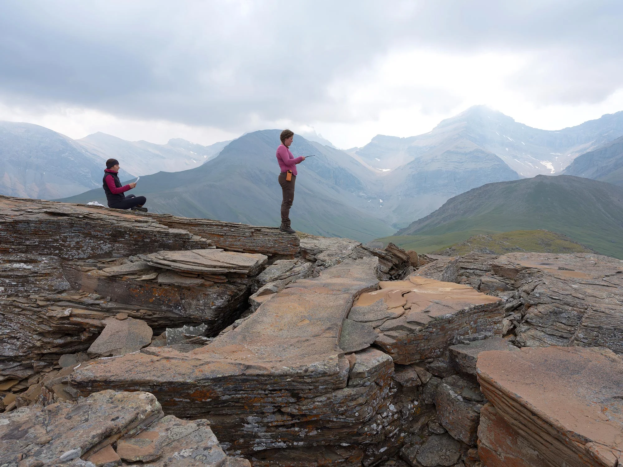
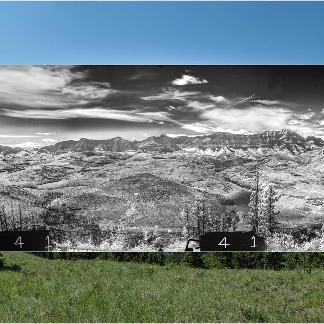
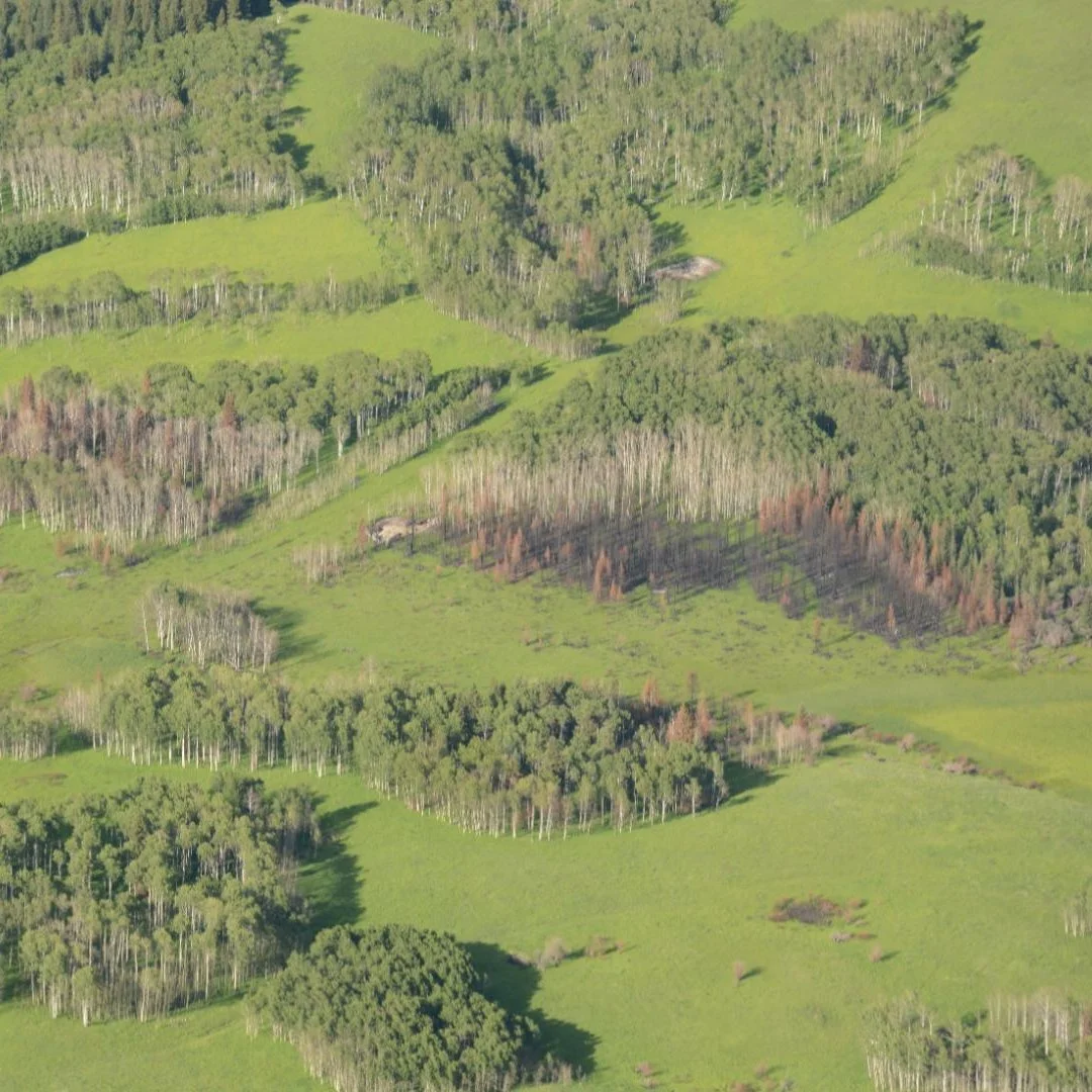
Our first stop was hosted by Julie Fortin and Chris Stockdale in a clearing near the west end of the park. Chris pointed out nearby Mount Hoffman, which has been visited by surveyors and repeat-photographers several times. In these photos we could see how the clearing in which we stood had been a clearing in the past, while other areas had shifted from forested, to recently burned, and back to forested today.
Julie and Chris’s examples led to a discussion about the prominence of fire on these landscapes historically, and how fire control has in many cases caused substantial forest change. For example, Chris described how the risk of high severity fire has increased over the last century. The group discussed the benefits and challenges associated with the re-introduction of a managed fire regime, and how projects like LIM can help us better understand the likely impacts of such a shift in policy and practice.

Julie Fortin (centre) and Chris Stockdale (right) present to the group. Photo by Cameron Naficy.
Fire history patterns and dendrochronology
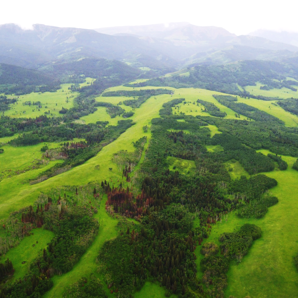
After lunch at Sheep River Falls, we travelled to the east side of the park to explore lodgepole pine patches in a forest stand sampled last year by Cameron Naficy and his team. The area we visited was a mosaic of even-aged and uneven-aged patches, characteristic of a larger area considered to be produced by a mixed-severity fire regime. Rain coats and pants made an appearance as the rain started coming down hard, but thankfully the trees offered some protection.
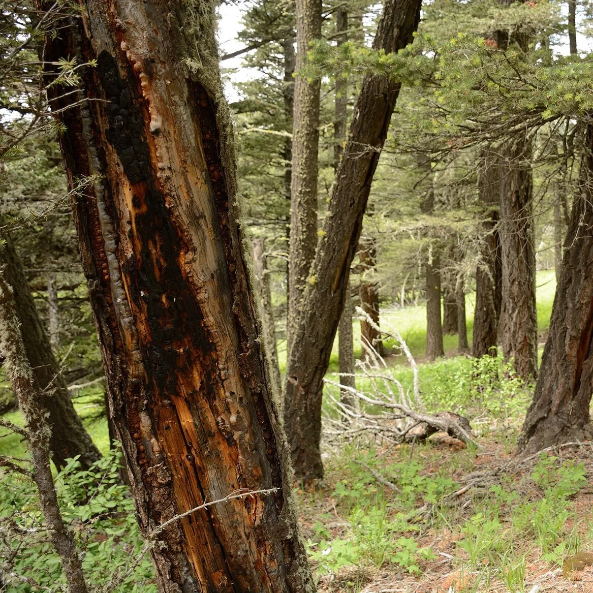
As we learned how to identify a fire scar, Cameron passed around some samples from trees that had been burned by multiple fires. Where we stood, most of the scarred trees we saw showed evidence of surviving one fire, while the samples collected from just a few hundred meters away were gnarled and lumpy from surviving many fires over a lifetime. Some lodgepole pine had survived up to six fires between the mid 1800s and the onset of effective fire exclusion in the 1940s—an incredible number of fires for forests in this zone!

Cameron (centre) is flanked by Alex Chubaty (fRI Research) and Ceres Barros (Landscapes in Motion) as they hold up fire scarred tree cookies. Photo by Sonya Odsen.
A short hike along muddy trails brought us to a second area where a small number of large trees grew among younger forest ingrowth. Some of the large, older trees had thicker, low-hanging branches which suggest these trees grew in a fairly open forest setting, possibly created by the frequent low severity fires. This site was a good example of the types of vegetation shifts that Chris and Julie introduced earlier in the day.
Tree core samples were passed around as Cameron described how “cross-dating” is used to determine the age of cores taken from dead trees. With enough cross-dated individual tree samples, and the right analytical tools, Cameron explained how it is possible to understand not only how often fires occurred, but also their boundaries and mortality levels. The problem is that this requires a large number of samples. In the summer of 2018, Cameron’s crews collected about 1,300 cores and 250 cookies in over 60 plots!
The intensive nature of this research is one of the reasons it’s so valuable to complement their data, which is highly precise but also highly specific to the area where it was collected, with larger-scale data like repeat photographs.

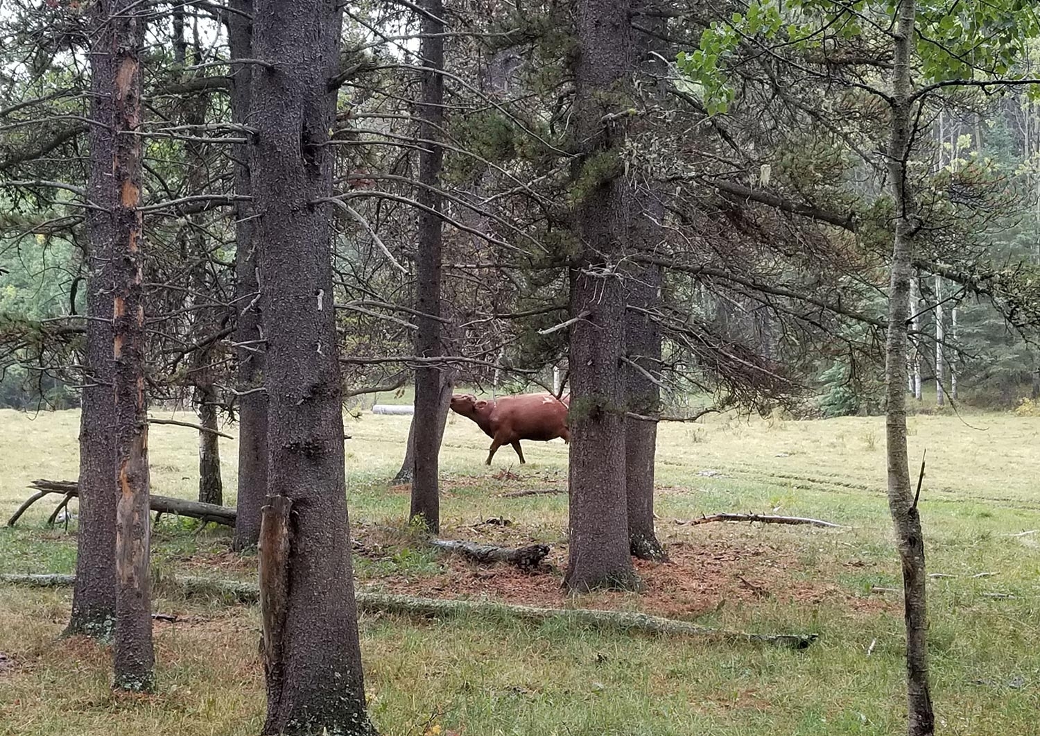
Left: Field tour attendees examine a board containing several tree increment cores, looking at the tightly-packed tree rings. Right: Cameron’s talk was punctuated with some well-timed interjections by a nearby cow.[1] Photos by S. Odsen.
Fuel for the Modelling Team’s time machine
Between the cold wind and the rain, we moved back to the shuttle for the final presentation of the day from Ceres Barros. Ceres has a significant task—building models that use the information being collected from the other teams to tell the story of not only what was, but what may be yet to come for these landscapes.
Models are representations of reality based on what we already know. Ceres’s main aim is to make models that capture how vegetation can affect fire behaviour in a given area, how and where fires create mortality, and what grows back.
Ceres emphasized that the relationship between fire and vegetation is intimate and cyclical. The type of vegetation will influence fire behaviour, which determines survival and growth, which in turn influences the behaviour of the next fire. This is known as a “feedback loop”, and as one would expect, it is difficult to capture!
To do this, Ceres is taking advantage of several different sources of existing and new datasets and knowledge—as are all the other Landscapes in Motion teams. For example, Ceres uses data from another Healthy Landscapes Program project to include information on what types of vegetation once grew, when they burned, and what and where vegetation died. She overlays this information with what the climate was generally like when these fires occurred; this helps her understand if and how climate and pre-fire vegetation patterns influence mortality patterns.
The complex models she is developing will help us understand the fire history and regeneration patterns in parts of the landscape that we were not able to sample. In other words, we are using modelling to help us further understand not just what the patterns of burning are, but the processes involved: how, why, when and where we get different fire patterns.
Ceres’ models will help address a question of great interest to many of us on the tour: how can we use this understanding to predict what will happen to these forests in the future under not only different management scenarios, but also a changing climate?

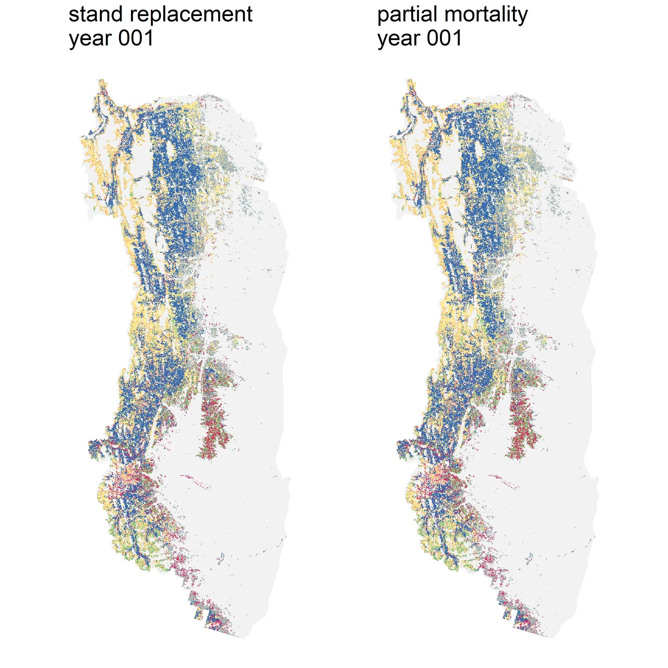
A hypothetical example illustrating how models use existing information (for example, how a forest burns under different climate conditions) to predict the outcome of a new condition.
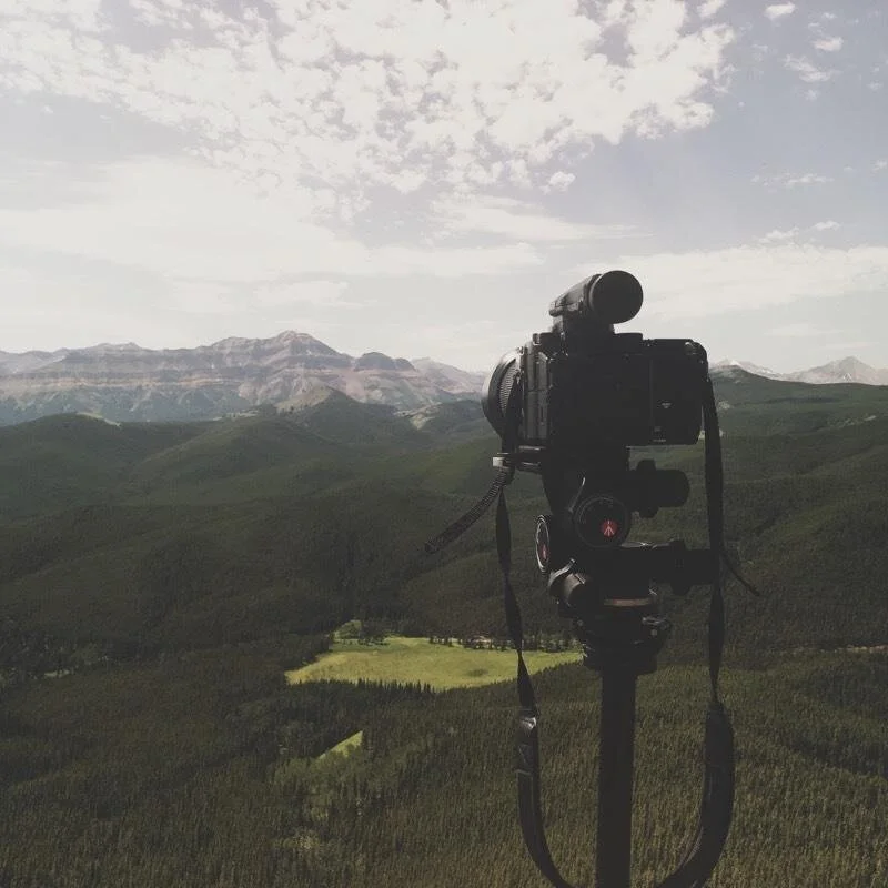
Ceres is still in the early stages of her project because her models are waiting for the final data from the other two teams, who are still processing the information they collected this summer. That didn’t stop her from showing us an example of the kind of model she can produce using the types of information her colleagues will be sharing with her. In true modeller form, she brought her laptop to the field tour! On the shuttle, out of the rain, she was able to show us how she can project fire and vegetation patterns over a given time period and plot these on a map of the study area.

Left: Ceres works her way up from explaining what models are, to explaining the kinds of models she is building as part of Landscapes in Motion. Right: Preliminary results of a simulation in part of the Landscapes in Motion study area. You can see how total forest biomass decreased after a fire was simulated (black perimeter). The units provided are arbitrary values created for the demonstration.
Inter-disciplinary approach to an inter-connected landscape
A common theme that arose during the field tour was the complexity of these landscapes: not only of the forest ecosystems, but also of the policies and practices in place to manage and conserve them. We heard from different guests who face the challenge of planning ahead for these forests but are hindered by uncertainty. How will different management options on a landscape—one with novel vegetation patterns—interact with future climate and fire conditions? And as we heard from the various guests who joined us for a chilly, rainy Wednesday at Sheep River Provincial Park, this is a question that has implications for a lot of different people who live and work in southwestern Alberta.
[1] Cattle grazing is a common and permitted activity within Sheep River Provincial Park and the Bluerock Wildland.
Sonya Odsen is an Ecologist and Science Communicator with a background in boreal ecology and conservation. She is a regular writer for Landscapes in Motion and is part of the Outreach and Engagement Team for the project.
Every member of our team sees the world a little bit differently, which is one of the strengths of this project. Each blog posted to the Landscapes in Motion website represents the personal experiences, perspectives, and opinions of the author(s) and not of the team, project, or Healthy Landscapes Program.